Planation Surfaces Beneath Antarctic Ice
We have seen that secular geologists are puzzled by planation surfaces and other landforms. Try as they might, they are unable to explain what is observed by their deep time presuppositions and assumptions. There is another chilling feature that causes consternation.
If you recall, planation surfaces are basically the flattened tops of mountains that cover great distances. There are many of them around the world, so they are not simply occasional anomalies. They also exist under the Antarctic ice sheet. How did that happen? Secular scientists are infested with insufficient ideas, but what is observed fit creation science Flood and Ice Age models.
 |
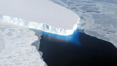
| Credit: NASA / National Science Foundation / James Yungel (Usage does not imply endorsement of site contents) |
All continents display large, flat erosional surfaces called planation surfaces. Indeed, planation surfaces are especially widespread on the continents of Africa and Australia. The prevalence of the water-rounded rocks that commonly cap their surfaces suggest these surfaces were formed by a heavy sediment-filled flow of water. Antarctica is no exception to planation features. Nunataks are mountains that stick up above the ice and planation surfaces have been carved on some of these mountains.To read the entire article, click on "Planation surfaces below the Antarctic Ice Sheet".